
3D Vector Maps
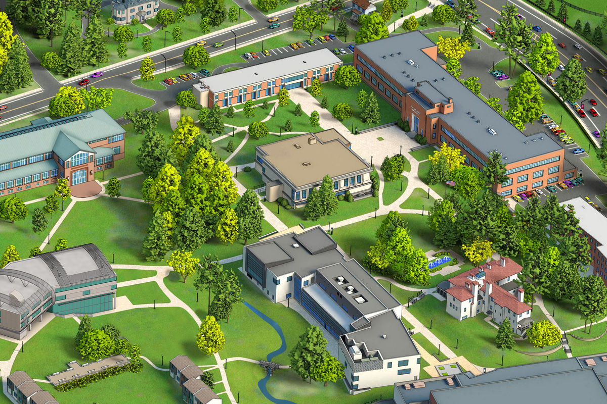
Philadelphia University 3D Vector Campus Map
For a clean, graphical treatment of a campus, nothing can beat a 3D Vector map. By simplifying the image and reducing the detail that is shown in Photo-realistic 3D Maps, 3D Vector allows your buildings to pop while parking, paths and basic landscaping are also highlighted.
3D Vector Maps are traditionally created in Adobe Illustrator or a similar vector program and are sometimes pulled into another program for final retouching.
Though CampusTours’ Photo-realistic 3D Maps are renown for their striking clarity and eye-popping details, some institutions actually prefer 3D Vector Maps for a number of reasons:
- 3D Vector Maps look more like maps, and less like aerial photographs
- 3D Vector Maps fly off the page in print because of the sharp color contrasts and crisp lines
- Cost – it is simply less expensive to draw 3D Vector Maps
- Placing icons is sometimes easier on less cluttered 3D Vector Maps
- The reduced realism in 3D Vector Maps tends to make map users more forgiving of observed differences between the map and reality


