AnyMap & AnyTour Integrate GoogleMaps

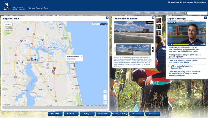
The University of North Florida AnyTour features a regional GoogleMap
CampusTours AnyMap and AnyTour now feature the ability to add GoogleMaps to showcase exciting local destinations, businesses in town, local historic attractions, regional or off-site campus locations, study abroad locations and much more. Students visiting the campus map inevitably have questions about how the campus interacts with the local community and what opportunities there are nearby campus for educational and recreational activities.
Differentiating the campus map from the regional or community map helps visitors understand the boundaries of campus and allows them to focus their attention on either on-campus or off-campus activities. Providing a regional GoogleMap allows institutions to mark their campus location(s) and also highlight attractions and community locations that students enjoy. Schools using AnyTour and AnyMap can even augment these off-campus locations with candid video commentaries from current students reflecting how a particular off-campus location is instrumental in campus life. These personal vignettes help make your campus map more authentic and student-friendly and give prospective students a better idea of how the campus and community interact.

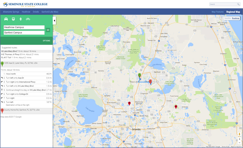
The Seminole State College of Florida AnyMap features a regional GoogleMap marking campuses and offering directions.
Another common use of Regional Maps is to provide directions to or between popular locations, and AnyMap includes the GoogleMaps Directions engine to enable turn-by-turn directions to campus or to any of the off-campus locations marked on the GoogleMap. Regional maps also allow institutions to mark airports and other important travel venues like bus stations, train stations or subway stops.

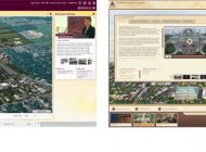
Northwestern State University of Louisiana uses the AnyMap regional GoogleMap capability to highlight historic locations around campus.
Organizations also use the GoogleMap capability to mark all sorts of local, regional, national and international locations that are pertinent to specific campus communities. Northwestern State University of Louisiana uses the GoogleMaps capability highlight historic attractions and buildings in the local community. Several businesses use the GoogleMaps feature to mark their national and international offices, and a few companies are using the CampusTours AnyMap platform to maintain a Global Business Continuity solution for instances when their Web site or other systems are down.
Overall, the addition of GoogleMaps significantly extends the storytelling capabilities of the AnyMap and AnyTour systems by expanding their realm of discussion to include areas that previously would have been mysterious “off campus locations” but may now be depicted and geo-located to convey their importance to the community.


