
Map Styles Offer Different Advantages
Organizations use a wide variety of styles of maps to convey different information. CampusTours AnyMap supports all of these map styles, as well as pretty much any other style you can imagine. If you can get your map into a digital file, CampusTours AnyMap can make it interactive.
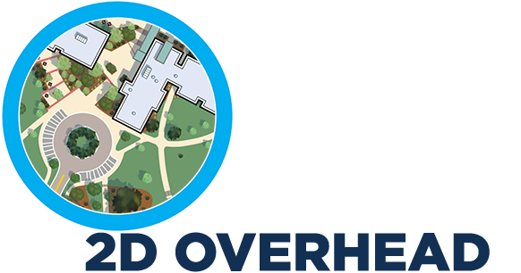
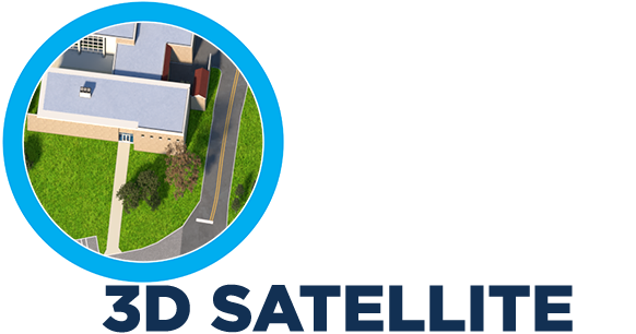
- Quick to develop
- Inexpensive
- Top-down perspective makes applying icons easy to any point on any building
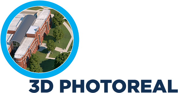
- Quick to develop
- Inexpensive
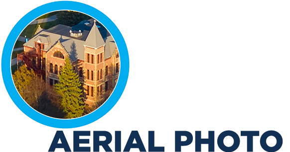
- Photo can be taken from drone, fixed wing aircraft or helicopter
- Accurate depiction of campus and surroundings
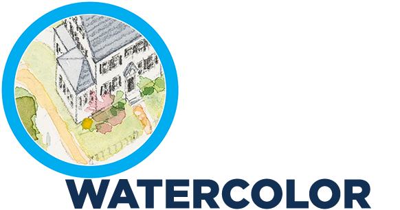
- Utilize your existing print map in digital format
- Graphical style pops with strong colors
- Works well in print and digital
- Matches satellite programs like GoogleMaps
- Can be overlaid directly onto satellite map programs
- Allows for on-map digital directions
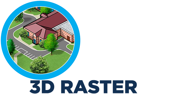
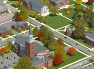
- Highest quality map illustration available (imitations do not achieve the same level of detail)
- Perspective and altitude can be selected with precision to optimize the view of specific spaces
- Ideal for both print and digital
- Detailed building renderings can be used for fundraising
