
AnyMap Adds Satellite Map Integration
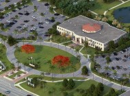
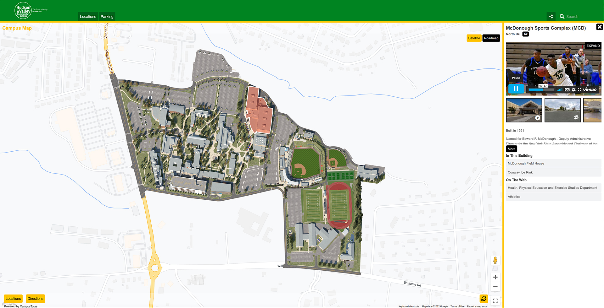 Hudson Valley Community College Interactive Campus Map
The CampusTours AnyMap system now supports the integration of custom map overlay graphics over popular satellite map platforms like GoogleMaps. Custom overlays may be designed by CampusTours in a variety of styles and may even include buildings/locations which do not yet appear in GoogleMaps! A common frustration with GoogleMaps is the slow nature of updates, and now organizations can have the best of Google (Directions, StreetView etc.) while retaining control over which buildings are depicted on the map and the style in which the map is modeled.
Benefits of satellite map integration include:
- The ability to show the campus “in context” with the town and surrounding structures
- Satellite/Roadmap toggle provides different information depending on each visitor’s needs
- Allows off-site structures to be marked and shown where they actually exist vis-à-vis the campus
- Directions capability with turn-by-turn directions and GPS integration for “you are here” feature (on some campuses this now includes building to building walking directions on the campus path network!)
- StreetView & PhotoSphere integration
Best of all, with CampusTours AnyMap you can create and manage icons, colors, building polygons, all content attached to any building and more, so you can take a capable satellite map experience and make it truly compelling. Contact CampusTours to learn more about AnyMap’s satellite map integration.
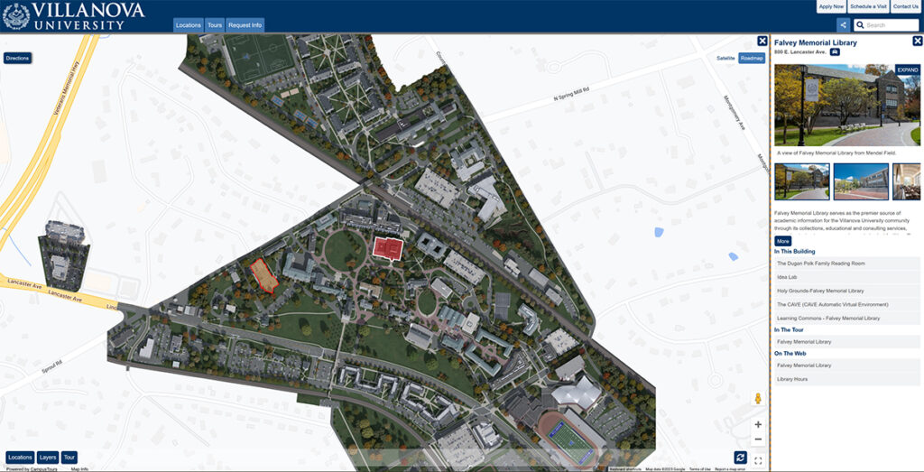 Villanova University Virtual Visit